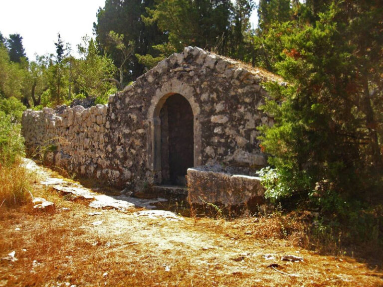
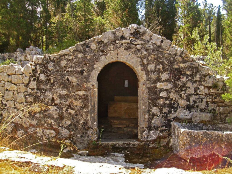
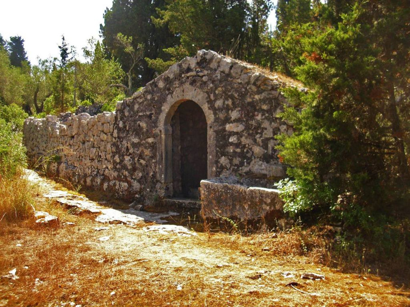
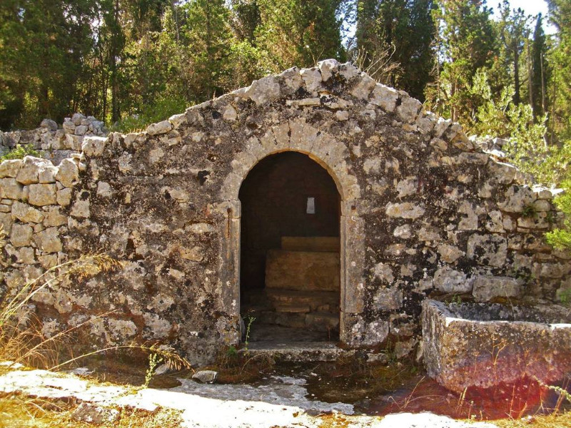
Where the path to the Ostries sets off below Agia Paraskevi, a stone arch opens in the drystone wall. Steps go down inside it to the water, and a long trough, cut from a single block, stands in front.
This is the first of the wells of Ostria. There are others: three cisterns cut into the living rock, known by the name of the Koutroumbalis family, another well further along that is still intact, and a larger well house nearer the cliff. The older name of this whole shoulder of land is Ostria, in the singular. Ostries, the plural we use on the map today, came later.
Paxos has no springs. Rain is plentiful, but the limestone holds nothing: the water runs straight through and is lost to the sea. So the island learned to catch the rain instead. Every house had its tank, every hamlet its cistern, and the paving you are standing on is not decoration but the catchment surface, graded so that every drop runs inward.
Bogdanatika, just above, was one of the larger settlements on the island, thirty three families in the survey of 1885. The trough in front of the arch is the wash house, where the women brought the laundry. A visitor of the 1880s described this life around water: women washing in the stream beds, and at dusk the girls of the neighbourhood climbing to the well with jars balanced on their heads, as he put it like the water bearers of antiquity, singing and racing one another up the slope.
Troughs like this one were once ordinary all over Paxos. Most are gone. A walker who recorded the paths found several nearby destroyed, bulldozed flat. This one is still here.
The water is no longer maintained. Look, do not drink.
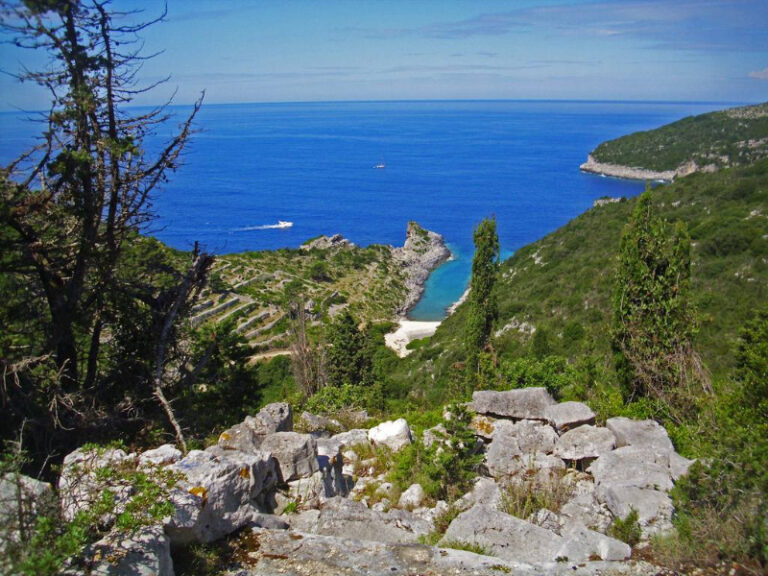
The well house at the cliff edge, and the view that goes with it, are a few minutes further on: see the Ostries.